Related Pages:
Dien
Bien
Phu – A Fatal
Gamble by Wild Bill Wilder
Dien Bien
Phu: Une Saison
en Enfer - Cyberboard gamebox
"Dien
Bien Phu 1954"
(TOAW, Vol. I scenario)
|
|
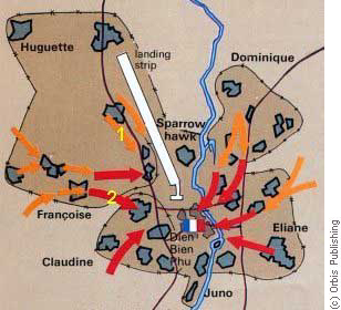
| Central position, taken between 20 and 24 November
1953 at the beginning
of Operation Castor, with the southern part of the landing strip in the
centre, the Nam Yum river to the left and the Pavie trail to the right
(with one branch leading to the Bailey bridge over the Nam Yun). Bush
fires
are used to indicated wind direction for air drops. |
|
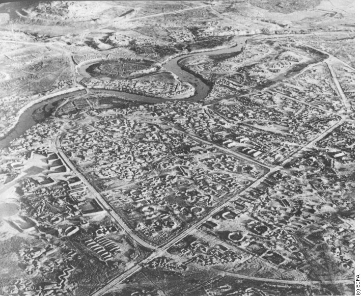
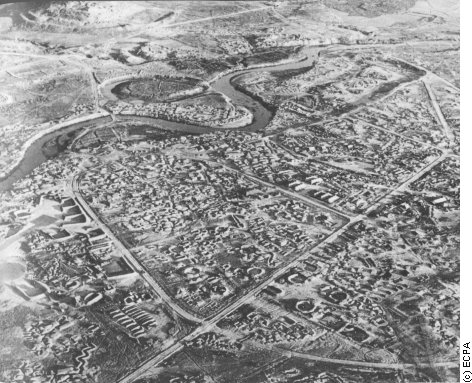
| The same place four months later... The photo was
shot at very nearly
the same angle but closer to the Nam Yum. This shows Claudine to the
bottom
right, Junon (headquarters and medical station) at the centre and on
the
extreme left the southern end of the landing strip with its aircraft
shelters.
The Bailey bridge is visible in the centre left and the base of Eliane
2 can just be seen in the top left corner. Note : Click on
photo
for a full screen enlargement [142 k] |
|
| View of trench line and wire on some unidentified
hilltop position. |
|
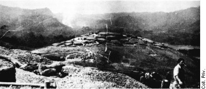
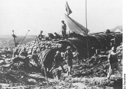
| View of one unidentified hilltop strongpoint showing
general arrangement. |
|
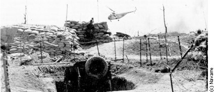
| View of some bunkers in the Junon central position |
|
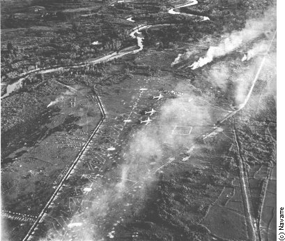
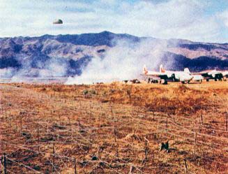
| View of the northern end of the landing strip showing
wire maze in
the foreground and US-supplied C-119 Flying Boxcar and civilian Bristol
freighter on the airfield. Again, bush fires are used to indicated wind
direction. [98 k] |
|
|
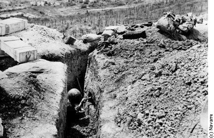
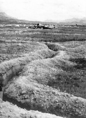
Vietnamese approach trench near the airfield.
|
|
|
General de Castries' Command post.
|
Top - Home
|

 acer
acer